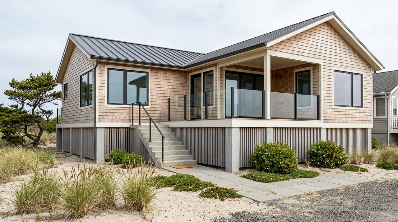
Coffee on the deck with a Columbia River sunrise sounds perfect. In Kalama, turning that view into your everyday reality takes more than picking a pretty lot. Waterfront here comes with unique rules, flood and erosion risks, and big differences between a river view and true water access. This guide walks you through what to check, how permits work, and how to price value so you can buy confidently. Let’s dive in.
Waterfront in Kalama: view vs. access
What “waterfront” legally means
In Washington, the state often owns the bed of navigable waters below the ordinary high water mark. That means an upland owner may not own the riverbed beneath a dock or float. If you want moorage, pilings, or a dock, you may need a Washington Department of Natural Resources authorization or lease and other permits. Review how the state manages aquatic lands and tidelands so you understand what your deed includes and what it does not. See the state’s aquatic lands rules for context on leasing and use of state-owned beds of navigable waters at the Washington Administrative Code.
Kalama also uses a Shoreline Master Program that regulates building and shoreline uses within about 200 feet of the water and in associated floodplains and wetlands. This is the local rulebook for setbacks, docks, and stabilization. You can review Kalama’s adopted SMP text and procedures in the City’s ordinance materials here.
Types of lots you will see
- View lot: Offers a river view but may not have legal water access or moorage rights. Always verify recorded easements if someone claims access. The state’s aquatic-lands framework explains why a view alone does not imply use rights below the high water mark. Refer to the WAC on aquatic lands.
- Riparian or shoreline lot: Touches the ordinary high water mark, but structures in or over the water can still require DNR authorization and other permits. See the WAC for how state-owned aquatic lands are managed.
- Leased aquatic lands: Some moorage areas are leased from DNR or managed by a port. Leases include conditions, fees, and renewal terms. They do not convey ownership of the riverbed. Review lease terms carefully via the WAC.
Rules and permits you will navigate
Kalama’s Shoreline Master Program
The City’s Shoreline Master Program implements state shoreline law inside city limits and nearby areas. It sets standards for new development, docks, and bank stabilization, and it prioritizes non-structural solutions before allowing bulkheads. Many projects require a Shoreline Substantial Development Permit or a conditional use or variance. Read the City’s SMP and designation maps in the official ordinance packet here.
WDFW Hydraulic Project Approval (HPA)
Any work that uses, diverts, or changes the bed or flow of state waters typically needs a Hydraulic Project Approval from the Washington Department of Fish and Wildlife. This includes docks, pilings, bulkheads, and dredging. WDFW aims to decide most HPAs within about 45 days after a complete application. Incomplete submittals are the most common delay. Learn the process and plan your timing with WDFW’s HPA guidance here.
Federal and state partners
If your work is in navigable waters or involves dredge or fill, expect to coordinate with the U.S. Army Corps of Engineers under Section 10 or 404. Ecology may also require a 401 Water Quality Certification. Many owners use the Joint Aquatic Resources Permit Application to file once for multi-agency review. Explore the federal permit process with the USACE Regulatory Program and see a Washington overview of docks, bulkheads, dredging, and JARPA through ORIA.
Flooding, erosion, and bank stability
Maps and insurance you should check
On the Columbia, flood risk is a core underwriting factor. Look up each address in FEMA’s Flood Map Service Center to confirm flood-zone status and base flood elevation. If a lender finds the home in a Special Flood Hazard Area, flood insurance is typically required. Start with FEMA’s official mapping tools at the FEMA Map Service Center.
Cowlitz County planning resources can help you understand channel migration zones, floodways, steep slopes, and utilities. Ask the county for a pre-application review if you plan dock work, expansion, or shoreline changes. Find county contacts and FAQs here.
Armoring and long-term costs
Bulkheads and other bank armoring can be expensive to build and maintain. Kalama’s SMP favors non-structural fixes first and requires geotechnical evidence before allowing new structural stabilization. Armoring can shift erosion to neighboring properties and invite deeper permit scrutiny. Read the City’s SMP policies on stabilization in the official ordinance packet here.
Docks and moorage in a port town
Using the Port of Kalama marina
The Port of Kalama operates public marina facilities, boat ramps, parks, and shoreline recreation. Public slips and port maintenance follow their own schedules and rules, separate from private moorage. Explore amenities and policies with the Port of Kalama.
Confirming private moorage rights
Private docks often require several approvals and may occupy state-owned aquatic lands. Confirm any DNR lease or authorization, and verify transfer rules, renewal terms, and fees before you rely on private moorage in your offer. Review the state framework for aquatic leases in the WAC, and use WDFW’s HPA portal for permit history where possible here.
Pre-offer checklist
Do these items before you write a clean, unconditional offer:
- Order a preliminary title report. Look for shoreline easements, DNR aquatic-land references, or port leases. Do not assume tideland rights are included. Read the state rules on aquatic lands in the WAC.
- Ask the seller for permits and leases. Request copies of shoreline permits, WDFW HPAs, USACE actions, Ecology 401 approvals, and any DNR lease or authorization numbers. Start with WDFW’s HPA resources here.
- Pull FEMA flood maps and ask for any Elevation Certificate or prior LOMA/LOMR. If none exist, budget for a surveyor to produce an EC. Use the FEMA Map Service Center.
- Check county planning layers for floodway, steep slopes, channel migration zones, septic versus city sewer, and other critical areas. Contact the county for a pre-application discussion using the Cowlitz County FAQ.
- Review Port of Kalama plans and nearby projects that may affect navigation, noise, or dredging near the property. See current updates at the Port of Kalama.
Inspection and contingency checklist
Add these items to your inspection scope:
- Structure and foundation: Evaluate slope stability, bank condition, signs of scour, and the condition and history of any bulkhead or tiebacks. Confirm permits for past shoreline work through the City’s SMP rules in the ordinance materials here.
- Geotechnical opinion: If the site is on a bluff or mapped in a channel migration or erosion area, obtain a licensed geotechnical engineer’s review before planning expansions or new armoring. See stabilization standards in the SMP here.
- Dock and moorage survey: Inspect piles, fastenings, floats, and utilities to the dock. Verify compliance with any DNR or port conditions and whether moorage is private or a port slip. The leasing framework is outlined in the WAC.
- Utilities and drainage: If not on city utilities, complete septic and well inspections and confirm replacement constraints near shorelines with the county.
- Environmental review: If close to industrial uses, review public records on nearby permits or contamination and consider how port operations can affect future marketability. Search starting points are on the Port of Kalama site.
Insurance and underwriting tips
- Confirm lender requirements. If the structure is in a Special Flood Hazard Area, lenders usually require flood insurance. Use the FEMA Map Service Center to understand flood zones and base flood elevation.
- Obtain an Elevation Certificate. If one is missing, hire a licensed surveyor or engineer to produce it. Elevation data can materially change premiums or support a Letter of Map Amendment.
- Know coverage gaps. Standard home policies usually exclude river flooding from overtopping or overbank events. Ask insurers about flood policies and how docks or outbuildings are covered.
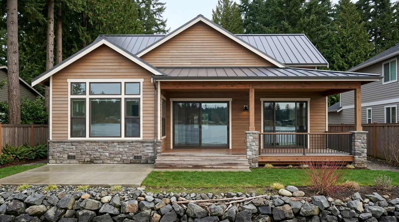
What drives price in Kalama
Local context and comps
Kalama’s typical home value sits in the low to mid 500s, but true waterfront and prime riverfront can trade well above that depending on lot size, bank type, and whether legal moorage is included. There is no single “waterfront premium” percentage that fits every property. Run closed local comps that isolate waterfront versus view-only and confirm any moorage rights before assuming added value.
Economists measure the value of water amenities using hedonic models. Studies show that proximity and direct access can command meaningful value, though the range varies by market and waterbody. For a plain-language example of how these models attribute value to water recreation, see this university research summary here. Your best move is to pair a local agent’s comps with an appraiser’s opinion when pricing or evaluating offers.
Investor lens
If you plan to rent or resell, model the holding costs that come with shoreline property. Budget realistically for dock repairs, bulkhead maintenance, geotechnical studies, and permit timelines. Factor insurance premiums based on elevation and flood zone. Build a pro forma that separates view-only sales from deeded shoreline properties and that treats moorage as a documented, permit-backed feature rather than an assumption.
Start with a plan
A strong plan helps you enjoy the view without surprises. Confirm what your deed includes, map the flood and erosion risks, and understand the permits tied to any dock or bank work. If you want help structuring due diligence, permits, and pricing for a Kalama waterfront home, connect with the McNamara Group to request a confidential consultation and free home valuation.
FAQs
What permits do I need to build or repair a dock in Kalama?
- Most dock work needs a WDFW Hydraulic Project Approval, and projects in navigable waters may need USACE authorization and a local shoreline permit under Kalama’s SMP; start with WDFW’s HPA guidance here and the City’s SMP here.
How do I know if a Kalama property will require flood insurance?
- Look up the address in FEMA’s Map Service Center; if the structure is in a Special Flood Hazard Area, lenders generally require flood insurance and premiums depend on elevation relative to base flood elevation; check maps here.
Can a seller’s moorage or DNR aquatic lease transfer to me as the buyer?
- Some leases are transferable and some are not; review the lease terms, renewal rules, and fees, and confirm authorization with DNR before you rely on private moorage; see the aquatic-lands framework in the WAC.
Why does the Shoreline Master Program matter when buying in Kalama?
- The SMP sets what you can build, how close you can build to the water, and when armoring or docks are allowed; it favors non-structural options and requires geotechnical proof for new stabilization; read the SMP ordinance packet here.
Where can I keep a boat if my Kalama home does not allow a private dock?
- Many owners use public facilities at the Port of Kalama marina instead of private moorage; check slip availability, rules, and amenities with the Port of Kalama.